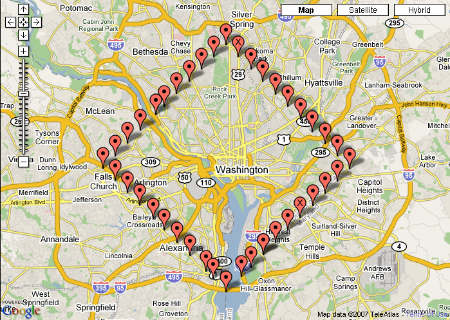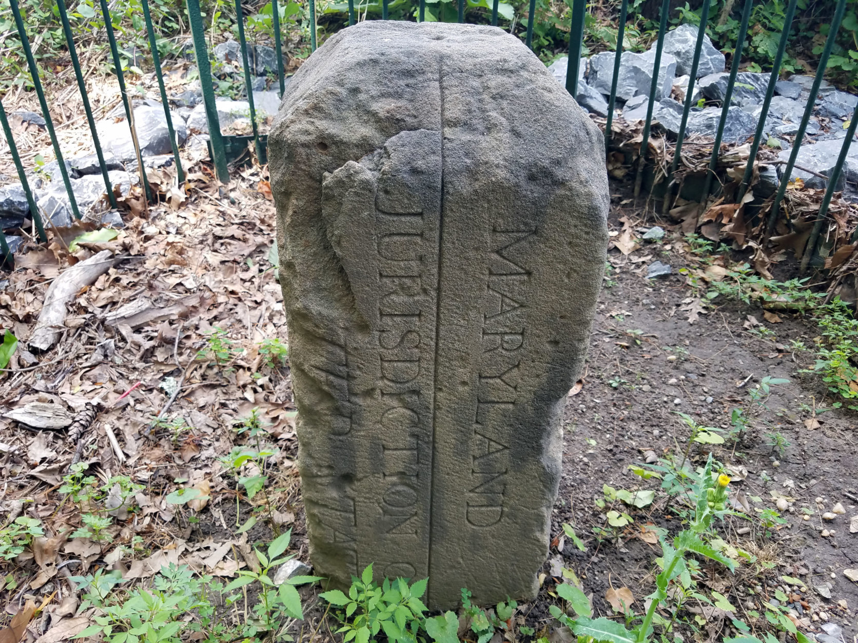
Approximate coordinates (+/- 0.4') obtained from AMT surveyor working for PCC at Woodrow Wilson Bridge STONE South = Could not survey due to site being under construction with stone wrapped in burlap and packed in sand. Stone is located in private residence waiting to be reset by joint survey society effort. A measure down was obtained from the top of stone to the ground. 3 color digital photos were obtained for the stone. The Stone was located at the top center point for both upright and leaning conditions. The observations were averaged to produce the resulting coordinates and data was reviewed to confirm project accuracies were met. STONES NE2, NE3, NE4, NE5, NE6, NE7, NE9, SE2, SE3, SE5, SE6, SE7, SE8, SW1, SW2, SW3, SW4, SW6, SW7, SW8, SW9, NW3, NW7, NW 8 = Field Survey Method: GPS-RTK A minimum of 3 consecutive GPS-RTK observations were made with each observation being a minimum of 30 seconds in length with data collected at 1 second intervals.

Conventional survey total station was then utilized to data collect angle and distance measurements to the stone. STONES North, NE1, NE8, East, SE1, SE9, SW5, West, NW1, NW2, NW4, NW5, NW9 = Field Survey Method: Conventional - 2 survey control points were set at the site utilizing GPS-RTK. This data is used for the planning and management of Washington, D.C. METADATA CONTENT IS IN PROCESS OF VALIDATION AND SUBJECT TO CHANGE.

Surveyed accuracy is +/- 5cm horizontal and +/- 9cm vertical.Īll DC GIS data is stored and exported in Maryland State Plane coordinates NAD 83 meters. DC Boundary stones field surveyed by GPS and conventional survey methods. government agencies.Ī database provided by A. Office of the Chief Technology Officer (OCTO) and participating D.C. The dataset contains locations and attributes of DC Boundary stones, created as part of the DC Geographic Information System (DC GIS) for the D.C. Larger_Work_Citation: Citation_Information: Originator: DC GIS Title: DC Geographic Information System Geospatial_Data_Presentation_Form: vector digital data Description: Abstract:ĭC Boundary stone locations.

Identification_Information: Citation: Citation_Information: Originator: Office of the Chief Technology Officer Publication_Date: Title: DC Boundary stones Geospatial_Data_Presentation_Form: vector digital data Online_Linkage:


 0 kommentar(er)
